Well, really Gray, Skylight, and Marcy
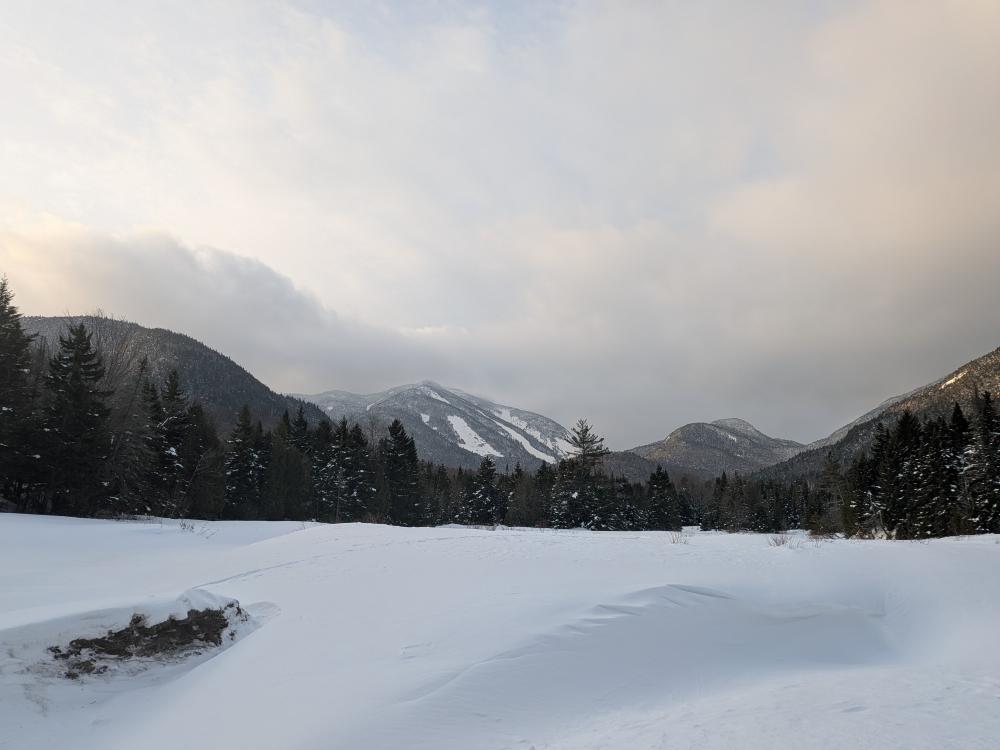
We started the day as a group of 13 to get the 3 peaks in one trip. The NOAA Mountain Point forecast told us that it was going to be very windy in the morning with some snow around noon, but calming down and clearing up later in the day. With that knowledge, we decided that it was best to go in via Lake Arnold and hit Grey first. It was the right choice.
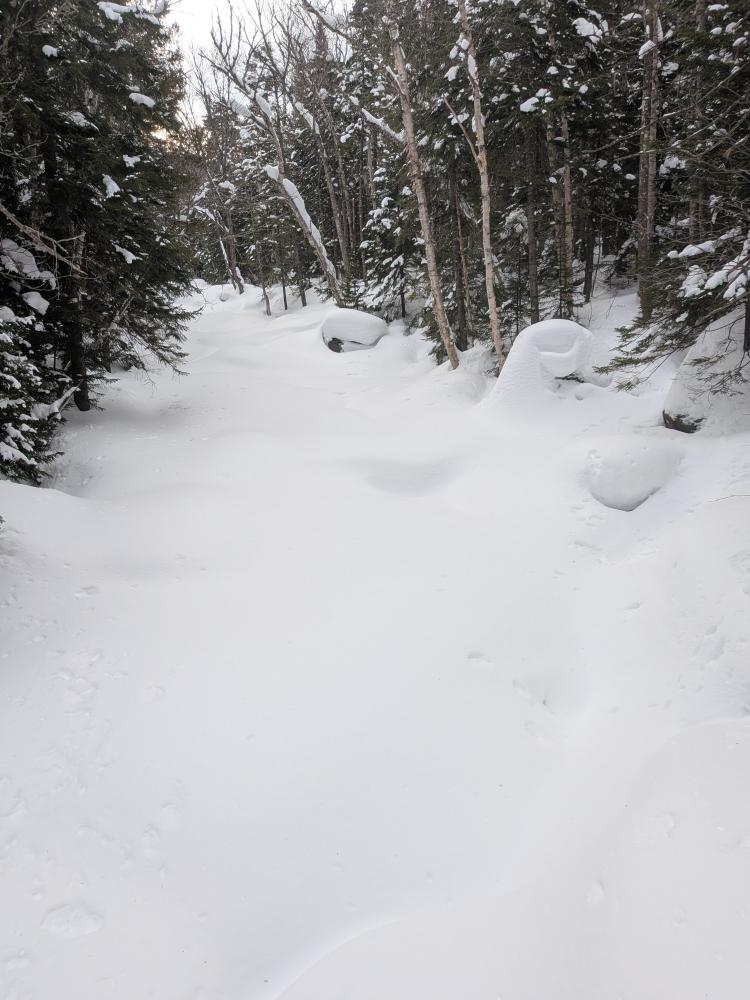
The hike in was pretty good. The trails to to Lake Arnold were rather solid. After that they were a little softer, but still well packed. It was while we were on that Lake Arnold trail, and the start of our time on the Marcy trail where it snowed, and it wasn't a nice snow, it was more like sleet and grauple. It didn't amount to much thankfully.
When I got to the Grey turnoff, I was near the back of the pack, and we confirmed that we were splitting the 13 into a group of 8 and 5. This worked out well for the 5 of us in the back. The first group took care of trail breaking up Grey, and I am so thankful to them. I can now say that Grey is broken out with a good trench the whole way up, but it'll likely be blown in on the top.
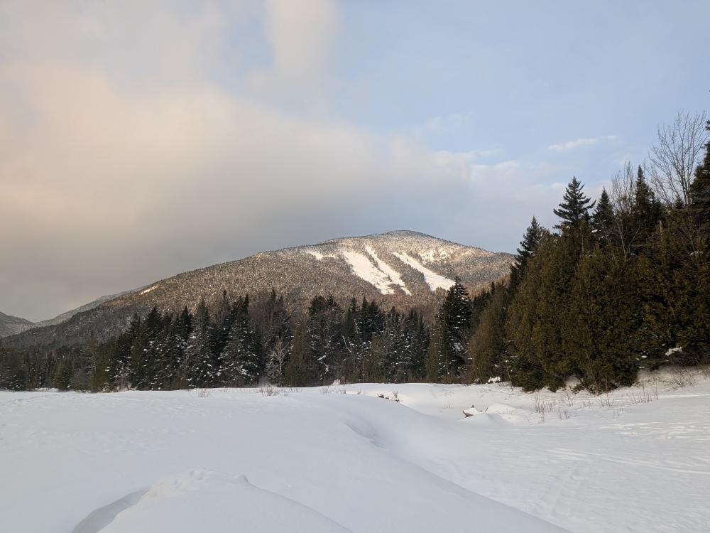
Next up was a walk across the lake and up Skylight. This was about as easy as I remember it being, but with it so exposed and the winds blowing, I was kind of wondering how we were going to get out over Marcy. The trail itself was not bad though. The trees are so short most of the way up that the broken trail held pretty decently, but once above true tree line, the cairns were necessary to find the way. It was crunchy ice for the last 0.2 or so. We found the summit, took our pictures, and one of us had a wind gauge that claims it was only 27 MPH winds.... It didn't feel like that.
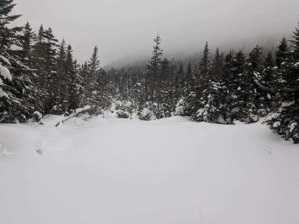
Then it was the quick jaunt down to 4 corners again, regroup, refuel, and the 0.9 miles up Marcy. I was fearful that the south side was going to be all ice and we'd need to switch out to traction. I was pleasantly surprised. The south side had ice, but it was avoidable with enough snow pack or rough ice that you could get a good grip with your snowshoes to go up. Our slowness helped us too as when we hit tree line, the skies cleared up and we had amazing views of the high peaks the whole time we were exposed. The rest of our group got great views of clouds about 2 hours earlier. Now don't get me wrong though, we were exposed, and we really didn't spend any extra time on the peak before we started going down.
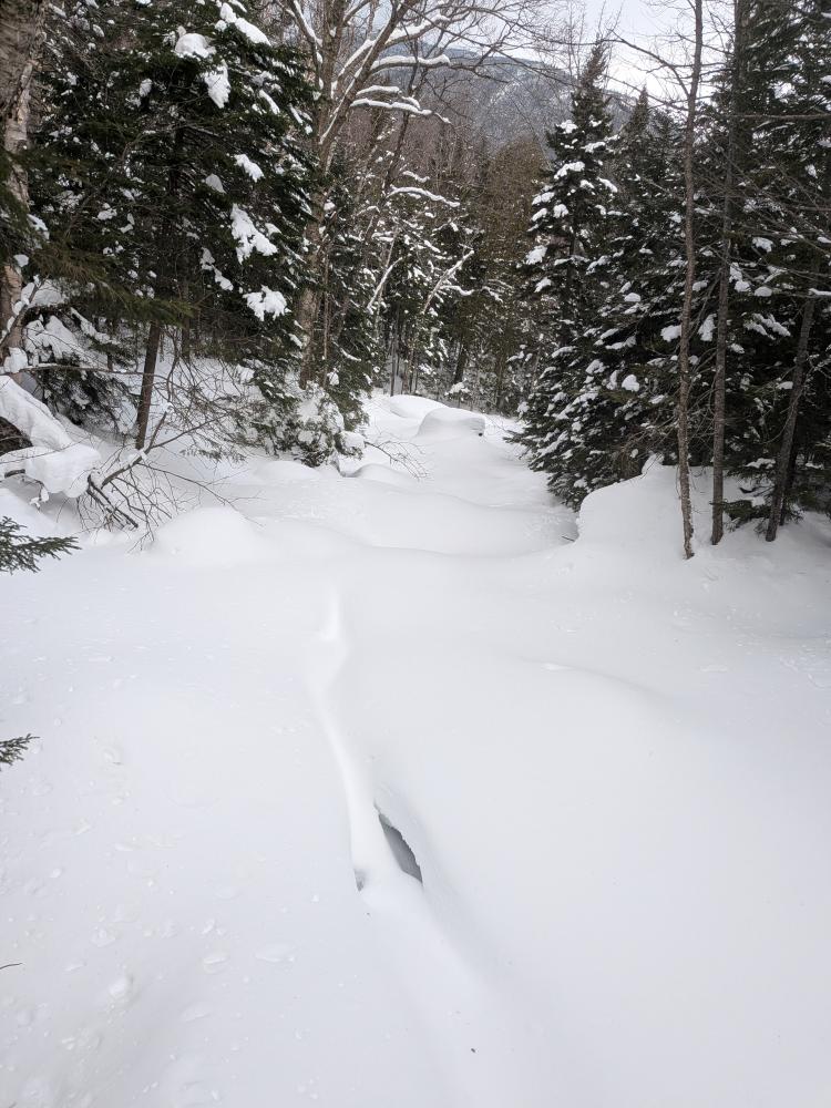
The north side of Marcy wasn't a huge concern of mine, even though I knew 2 weeks ago a woman slipped off the trail and ended up not surviving until the rescuers could get to her. It was pretty snowy, and I don't recall seeing any major ice though. If it was grey or white out conditions, it would have been easy to lose the way. We also saw someone had done the summit in microspikes alone. They didn't do much damage to the trail, and the 5 of us should have erased the tracks, but they did leave depressions that would potentially catch a ski or snowshoe. We then got down to tree line, and started to go out. We took another break for some fuel at the Hopkins trail junction, and then out we went.
Overall, it was a good day. This puts me at 41/46 for my winter round. The GPS measured 18 miles and 5560 feet of elevation over 13.5 hours. This brings me to 100 miles and 5.3 miles of elevation over 77 hours so far this year.


Add new comment