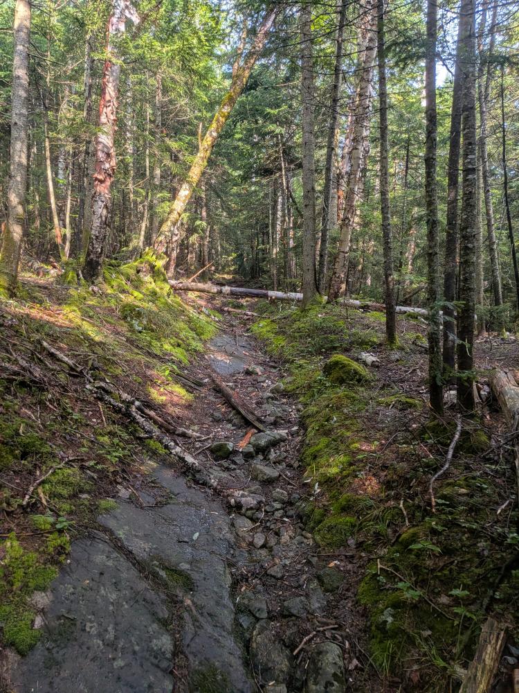
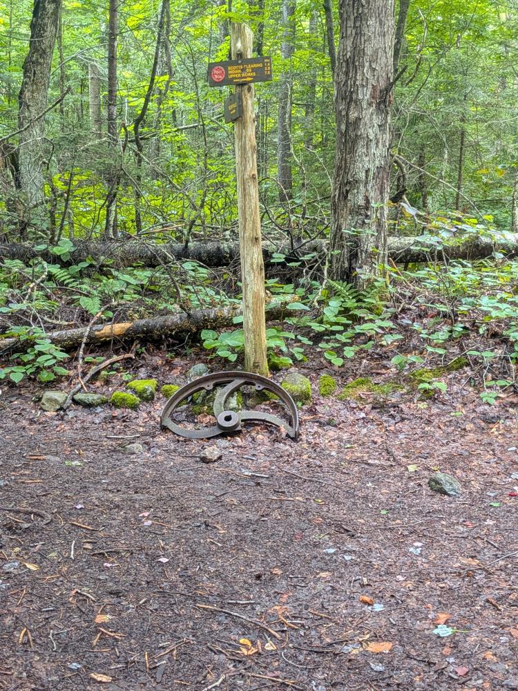
Saturday, Aug 8, I and 3 other souls went to go and tackle MacNaughten. My other goal was to get the last of the Indian Pass trail and Wallface Ponds trail for red-lining. So, we came in from Loj. This is really a tail of 3 trails. The first was Indian Pass trail. From Loj to Scott Clearing was pretty good by ADK standards. some mud, but only one pit that had an established herd path around it, everything else was easy enough to go through. 1 bridge was completely out and another had 2 of the 3 stringers gone, but the streams were easy enough to get across without them. It was a relatively easy hike in to the former dam at Scott Clearing.
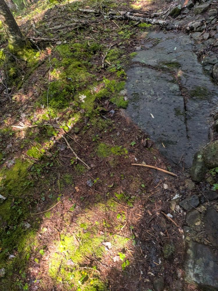
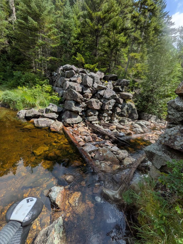
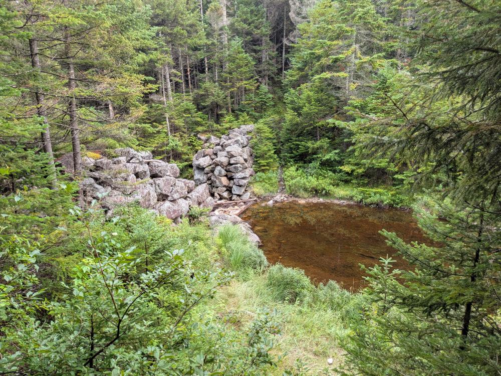
We then made our first mistake. We crossed the brook at the dam. Nope, the trail is a hundred feet or so below the dam. Don't do what we did, going down the far bank had a couple questionable spots to navigate. Then we started out to Wallface Ponds. This trail starts out with a decent climb and then when you come down the little bit you're at a marshy area. This is the start of many long and deep muddy spots that was easily over your boots and no matter how much you want to go through it, there's no option other than really going around it. I don't normally recommend that, but in this case, there really is no option. The traces of herd path we found were mostly on the downhill side, but lets be honest, it's better to go uphill around these things so that you don't expand the muddy areas... water pools and drains down hill. Other than the significant mud, the trail out to the outlet of Scott Pond, another old rock dam site, was not that bad to follow.
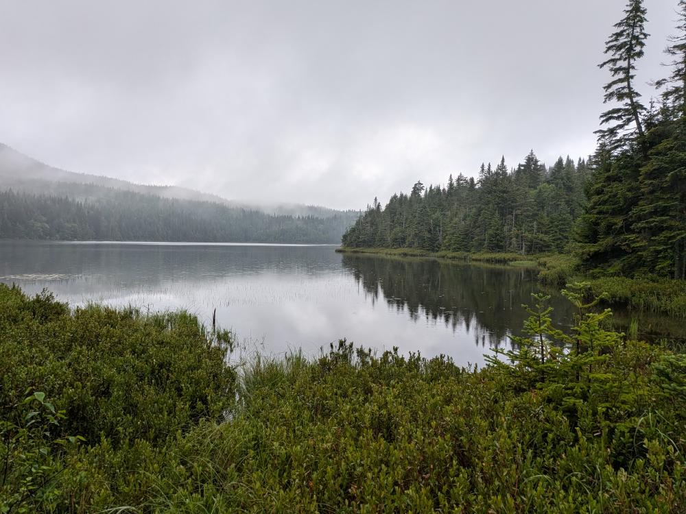
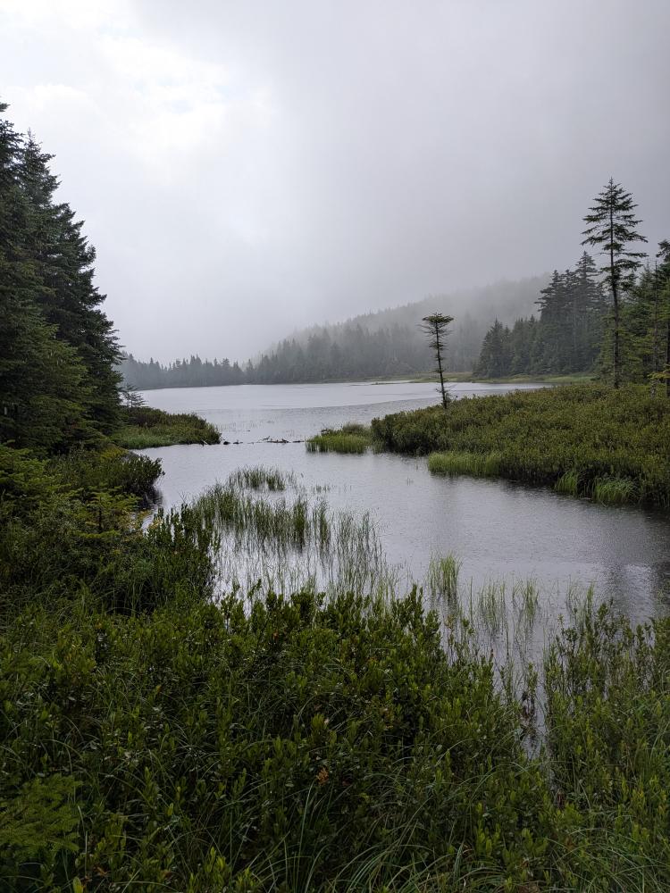
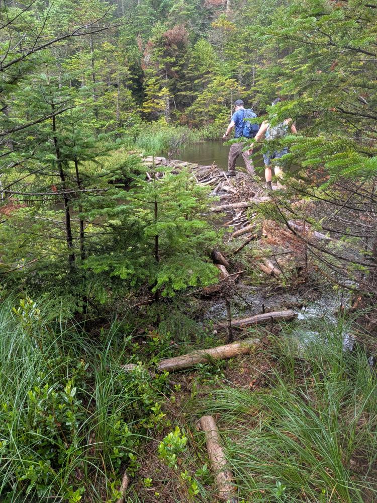
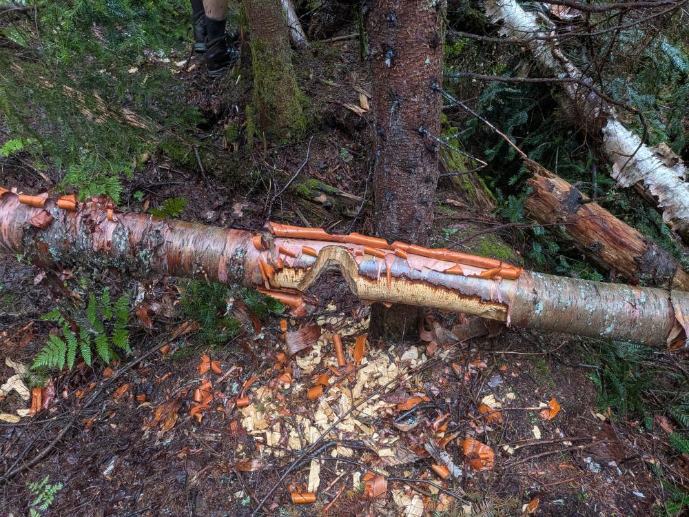
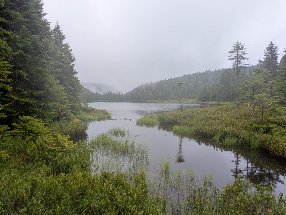
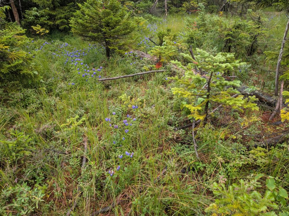
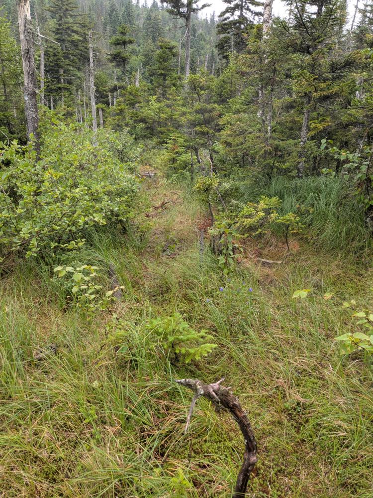
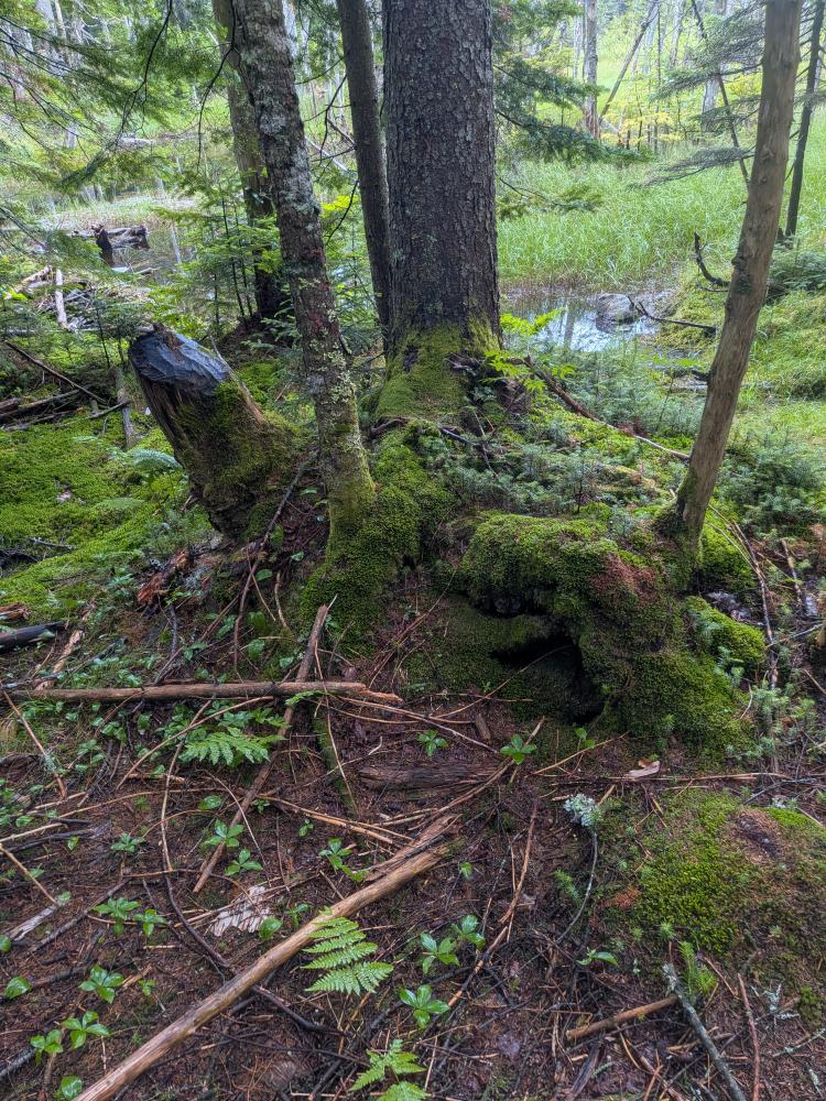
Then the second half of that trail to Wallface Ponds was nothing at all like the first half. This trail was significantly tight. You were constantly having the vegetation rub up against you, and if we weren't already wet from the light rain we encountered, the trees dropping some water from that or previous rains, and our boots being totally soaked from the first half of the trail, we would have been soaked due to this half. This half of the trail was very difficult to follow, and we basically decided that the bushwhack up MacNaughton started after we left Scott Pond.... that's how bad the trail was. We eventually found our way to the end of the trail and part of the reason the trail was hard to follow was due to beaver activity. There were 2 dams holding back water, and a third one further up stream that was being built, so some of the marked trail that goes by the pond was just under water. We crossed over the middle dam and then started the bushwhack. We went right for a bit, but in retrospect, we should have gone straight up from the dam and follow the drainage that we saw there. This is not the drainage you follow up the mountain, but the one from the last pond on the way in.
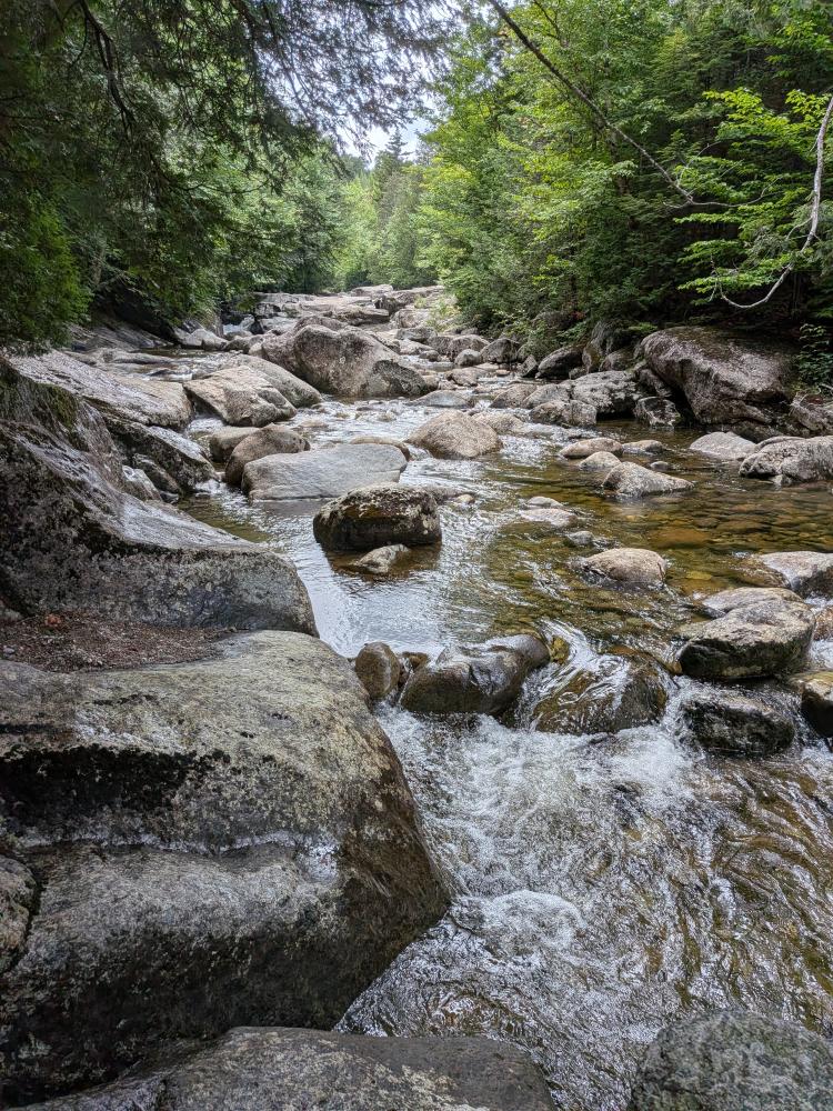
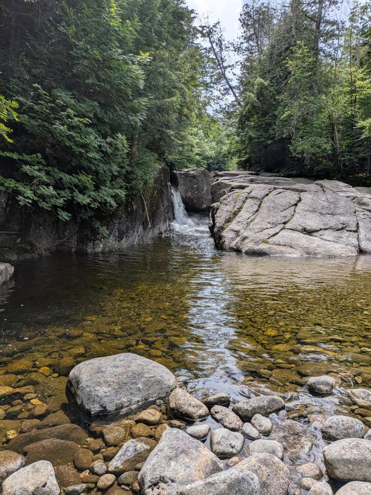
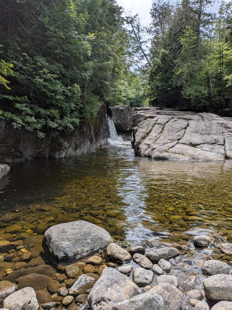
At this point, I had enough and turned around. Before I talk about the whys, the other 3 kept going as I assured them I was able to get out on my own. I wasn't in horrible shape, but I knew I was not going to be able to do the last mile. On the way out I stopped by Rocky Falls, which is a nice little spur off of the Indian Pass trail, or if you go to the lean-to site, a bit south of where that comes out when going to the river for water. These falls are pretty, and a large, lovely pool of water just below. If you ever find yourself in the area, they are well worth stopping by.
So more on why I turned around. My body was not responding well to the conditions of the day. I felt nauseous, close to vomiting, and just overall not feeling well. Before someone says I was low on electrolytes, I don't think that was the root cause, but when I got out and had some salts, I did feel a little better, but it didn't cure it completely. I am actually susceptible to heat exhaustion due to things that happened in my childhood. The relative humidity on the thermometer on my pack said 91% the couple times I checked it on the way out. It wasn't horribly hot, At worst it was around 80, but mostly in the 70s all day, so I didn't even think about that being an issue as it wasn't hot. I did notice an hour in (about 3 miles), my shirt was soaked through and my shorts were getting there. I did keep hydrating well, and when I eventually did go pee, it wasn't the dark of dehydration. So this is a reminder that even on what look to be decent temperatures, you can still get heat related injuries/illnesses. If you're feeling the symptoms of heat exhaustion, namely:
- Cool, moist skin with goose bumps when in the heat.
- Heavy sweating.
- Faintness.
- Dizziness.
- Fatigue.
- Weak, rapid pulse.
- Low blood pressure upon standing.
- Muscle cramps.
- Nausea.
- Headache.
take it serious and turn around and get out. I was suffering from about 1/2 of the symptoms and I am glad I made the decision I did. Of course I didn't realize what was happening until I had gotten back to the Indian Pass Brook and took the time to sit and refill my water. I was thinking that maybe my husband actually was sick and got me sick, but thankfully that was not it.
So, in the end, it was 14.6 miles and 2760 feet of elevation over about 9.5 hours. Year to date this brings me to 262 miles and 12.7 miles of elevation over 184 hours. And for the red-line challenge, I realized that the supposed herd path up MacNaughton is not on any of the maps, so that 1.1ish miles is not part of the challenge. So, I'm now at 242 out of 405 miles or just a hair under 60% complete, leaving about 163 miles of trails to go.
Add new comment