Today, I, and 3 other brave souls, went up and did the MacIntyre range. This is one of the harder hikes in the park, even though it's only 10ish miles (per map). What makes is hard is that you have huge climbs up Wright and Algonquin (both sides) and you have to go over Algonquin 2 times unless you want to do one of the steepest trails in the park and add a fair amount of mileage.... that was not an option as the trail back to Loj is currently closed due to landslides in July.
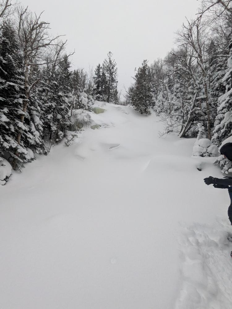
We started a bit after 6 and made pretty good time over the first 2 miles or so, where the climb starts getting constant and noticeable. We made the traditional comment on "I've never stayed at that campsite" and stop at MacIntyre Falls, which was completely frozen and snowed over. Then, next thing we know, we're at the trail junction with Wright. There is an ice bubble to climb over/around between, but it wasn't that bad.
From the trail junction, we get to the real steep stuff. It's only 0.7 miles to the peak, but it's 1000 feet over that distance, and some of it is flat.... so it's really like 1000 feet over 1/2 a mile. Pretty damn steep. The worst part of the climb in the summer for many people is the 1000 feet or so of slide. That was nicely snowed in and easier to get up than in the summer. Once we got to tree line, the wind became a real issue. The good news was there wasn't much snow above tree line. The bad news is it was an inch of rough ice. We stayed in our snowshoes and didn't have a horrible time getting up. Coming down the south side to Iroquois, we all had some slips, but totally doable in snowshoes.
Then we come to the part I dreaded, and I actually took the lead again. The col between tree line and Boundary peak is well known for spruce traps. I saw someone who went solo a few days earlier, got stuck in one, and had to cut her snowshoe off to get out. Another group of 3 had sprung a few traps only 2 days ago. Thankfully I was able to mostly find the meandering path that someone (that group of 3 I think since it was relatively solid) and we only had minor spruce trap issues. Then it was off to Iroquois and other than a bit more icy rock in the last couple hundred feet, not that bad. The cairn seemed smaller than what I remember, but we confirmed we were at the right place with GPS.
At this point, it was time to go back to the Wright trail junction. Going back up Algonquin was not horrible, and going down the north side was ok, but again a couple slips here and there, but nothing too bad. There were some lovely butt slides on the way down, where the slab is was one of the better ones. A bit of food and up Wright. The first 0.2 was below treeline and other than being steep, not bad. The second half was steep and some slippery spots. Got to the top, the wind started gusting, and it was just hit the high point and turn around. No views anywhere we were when we were there, so no need for more pics. Coming down the top half of Wright was slippery in many spots, and the butt was used to get down multiple times.
At that point, it was just the 3 miles to get out. The ice bubble we went around on the way up, it made a great butt slide on the way down. When we got to the ski trail up Wright, a large group of skiers came down. We got off to the side since they are significantly faster than us, and I have to be honest, it looked like a lot of fun.
This brings me to 37/46 for my winter round. GPS tracked me at 10.7 mile and 4650 feet over 8.35 hours. This brings me to 69 miles (giggity) for the year over 54 hours and 3.56 miles of elevation.


Add new comment