In the theme of starting to hit the less used trails, and working to red-lining the map, I did a traverse from Marcy Field over Blueberry and Porter, and out via 73. This was also to scout for a possible hike a friend wants me to help him with in 2 weeks, since I've never done the Blueberry side of things.
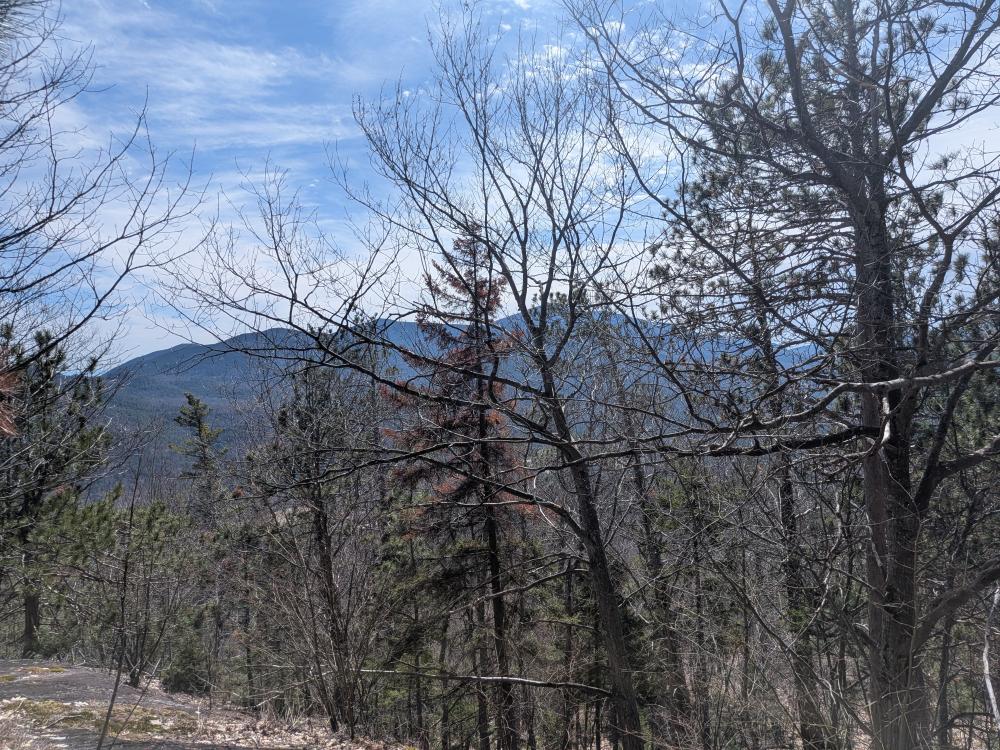
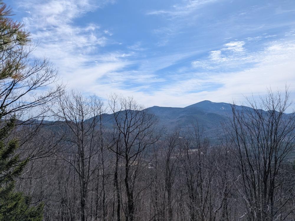
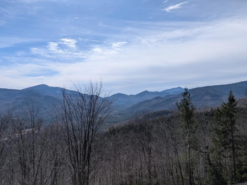
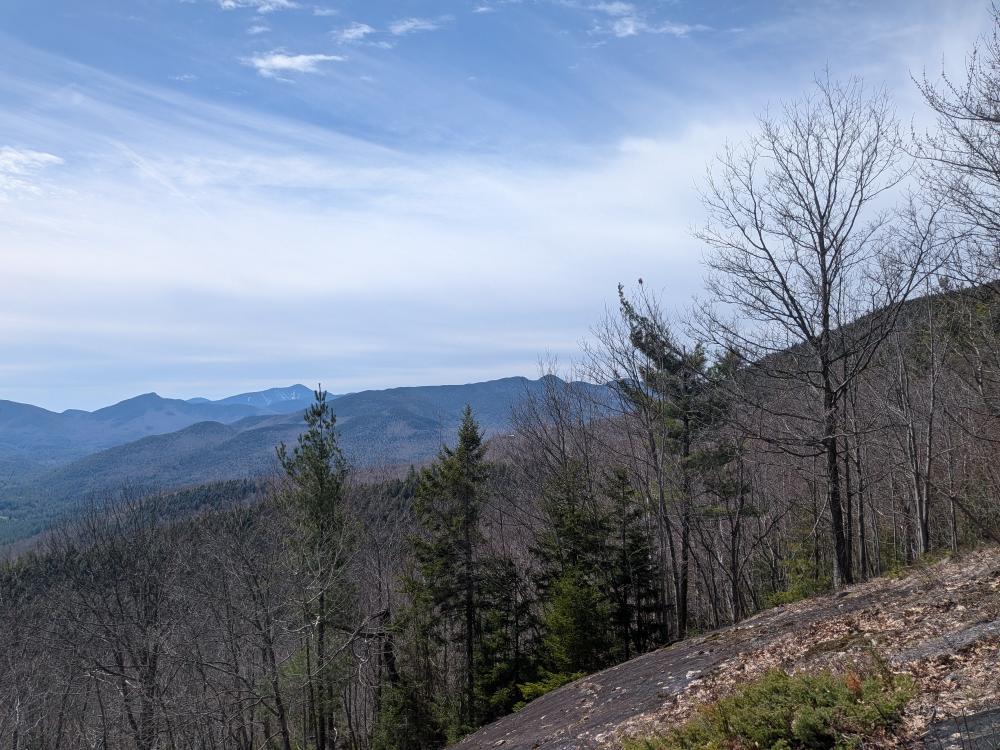
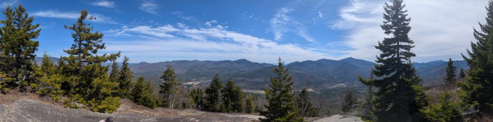
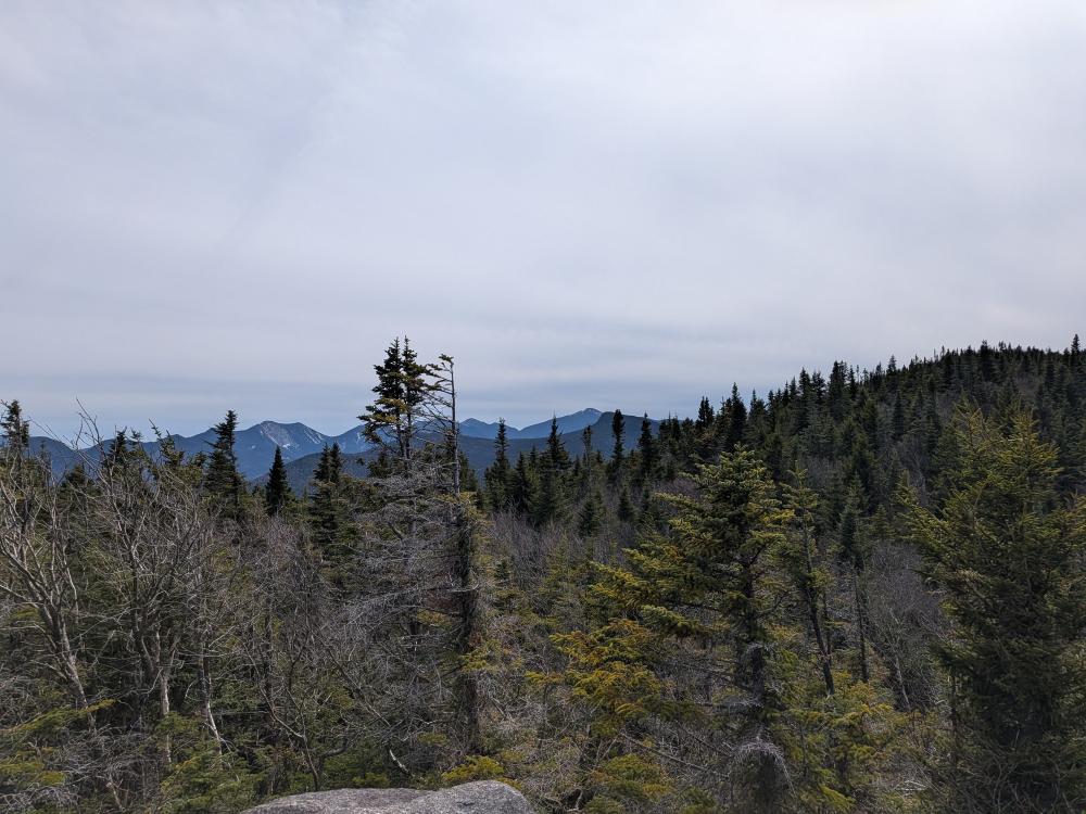
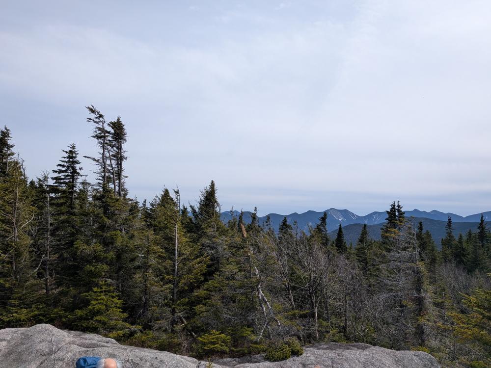
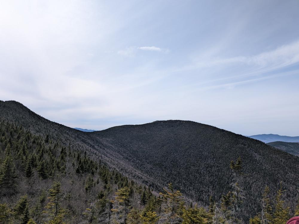
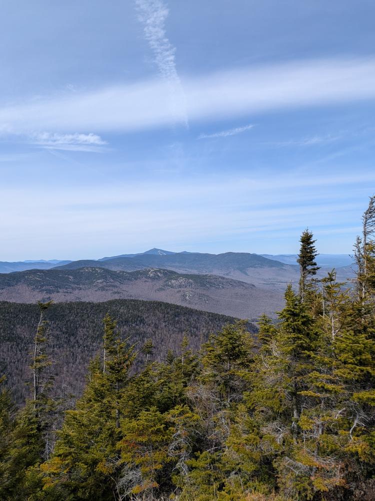
First, we got lucky with the weather. It was warm enough that I was in Tee shirt a mile or so in. Clouds were minimal, and the views were amazing, and I got a slight sun burn, I should have put on the sun block. It was just a perfect weather day. After a winter where I had many days in the clouds, this was appreciated for sure.
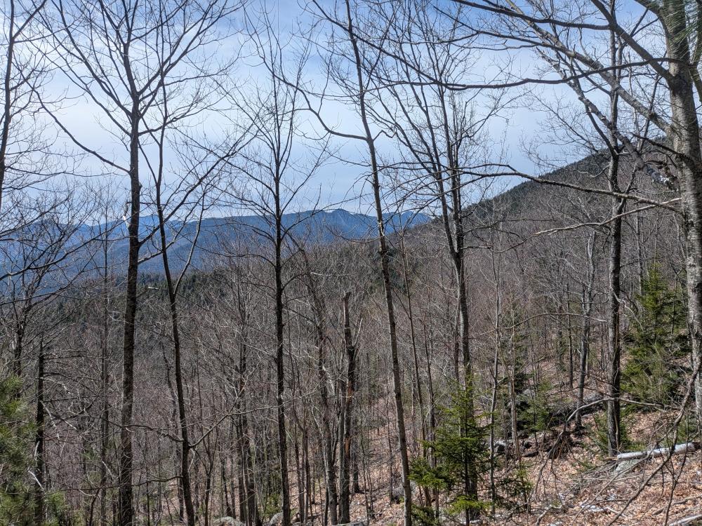
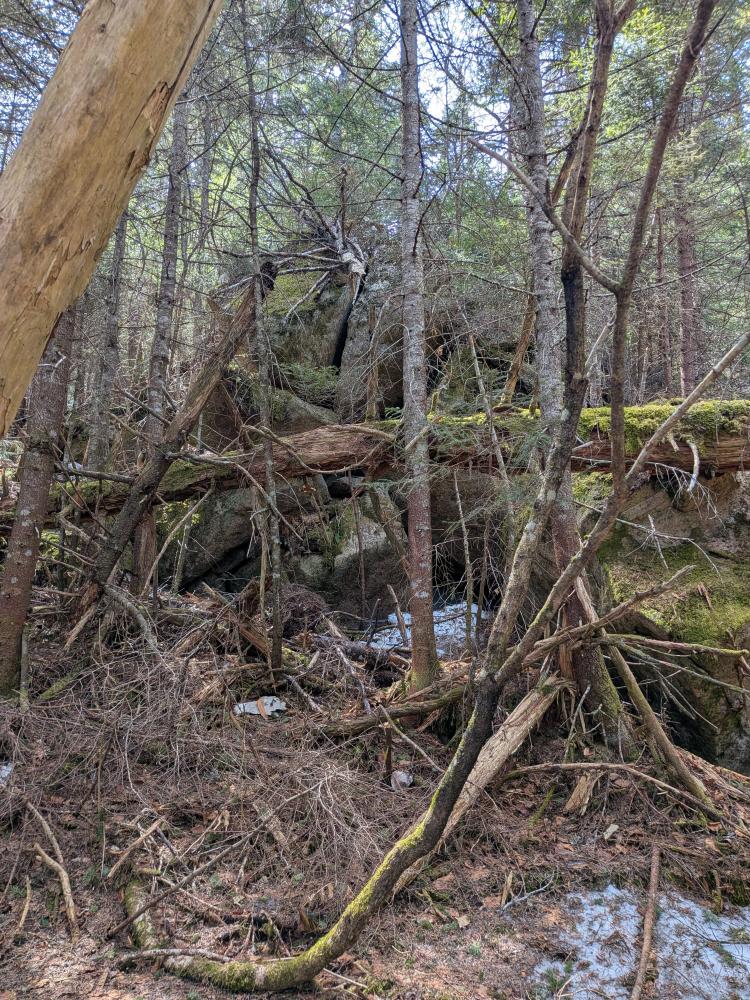
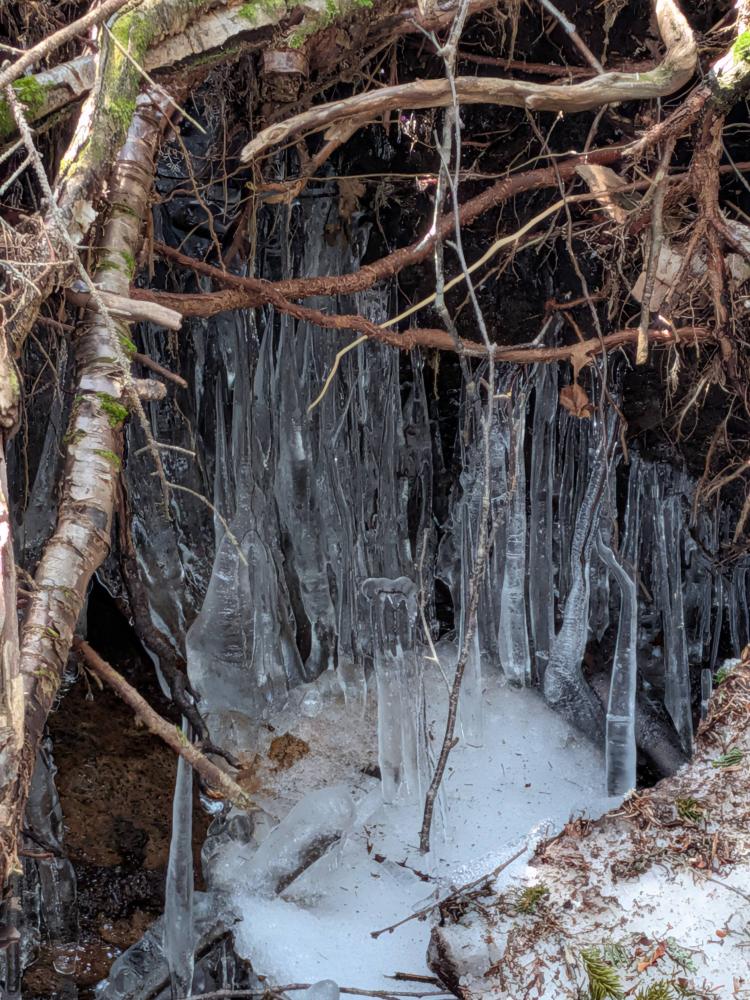
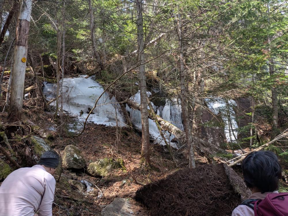
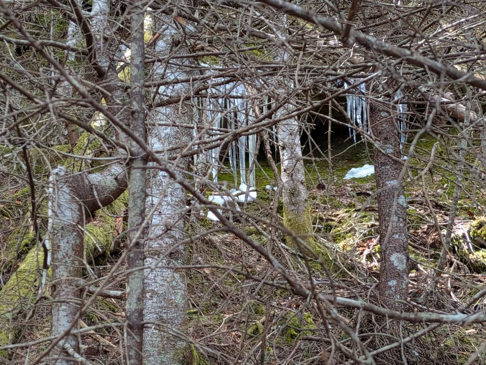
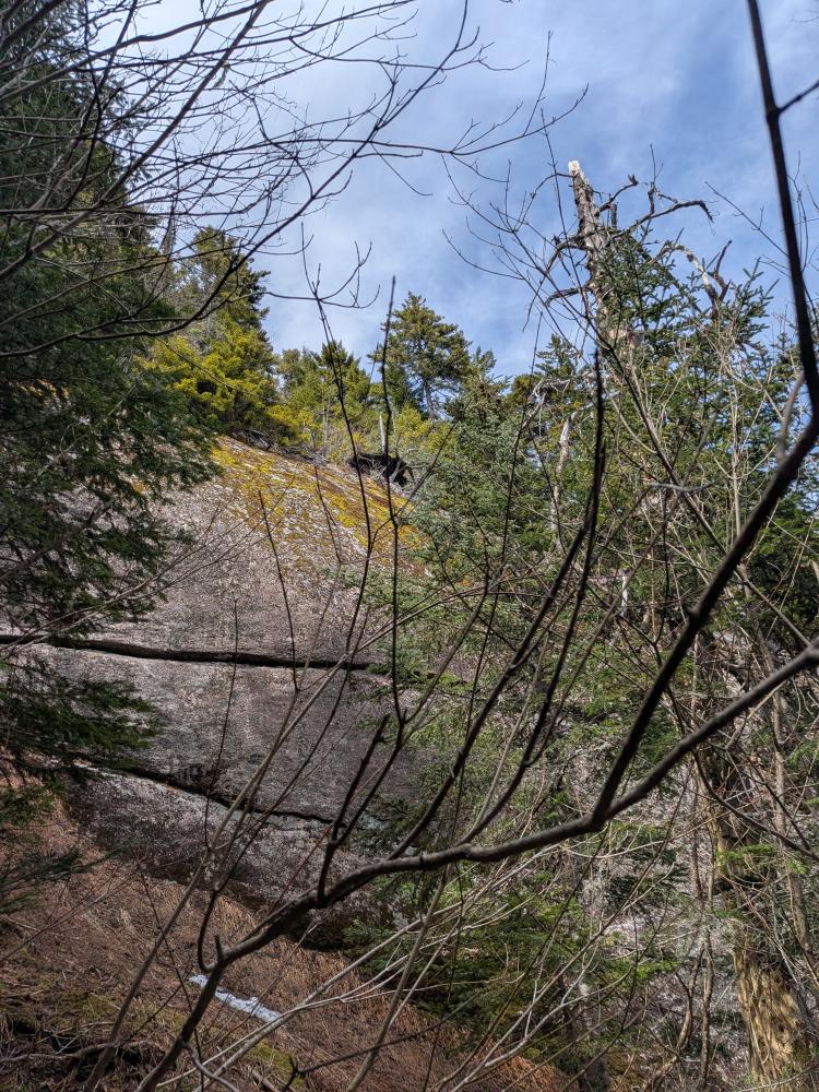
The trail to Blueberry and the big glacial erratic a bit past the peak was lovely. Not highly used, but still pretty obvious if you know what to look for. It also was pretty well marked. There were a lot of old markers randomly throughout though. The current markers are the standard DEC yellow markers. The old ones were red, and one we saw was an ADK marker. The paint on the rocks that we saw was all red paint. So, this was obviously a red trail at some point in the past and they never took down some of the old markers or re-paint the stuff on the rocks. Once we got past that spot, the trail did get a bit different. It was more shaded, and the winter snow was still holding on more. There were small stretches of rotting snow on the trail and some degrading monorail ice. Nothing was too bad though, and nothing that extended that we needed to put on microspikes.
From Porter to the road, it was the typical hike. The mud was not horrible between Porter and Cascade, but it was still there and still significant. It was nice to see the flags in the col where the new trail will be coming out. It of course is coming out where it will be muddy, so hopefully there will be some significant trail hardening in that area when they get there. I'm going to have to try the new trail at some point, probably sooner than later.... but before its opened.
So, the bad of the hike. A lot of litter was picked up. Most of it was incidental stuff that falls out of pockets. It happens, we're all guilty of it, so, all you can do is pick it up when you see it. There were 2 fire rings we came across. These had the wood and coals dispersed and where the was a rock ring, that was scattered too. Fires are illegal in this area, and these were long cold, so better to get rid of them to not encourage bad behavior. One of the fires had someone try to burn a red bull can.... which I packed out. There was also a lot of toilet paper blooms once we got to the Cascade trail. This is winter hikers being bad. I'm sure they were buried in snow when they went over the winter. Well, the snow melted, and the toilet paper marks the spot. At least they were not on the trail itself, but it's very unsightly. I'm going back up there in 2 weeks, I'll bring a bag and gloves and take care of them then. And finally, when we got to the trail head, there were a half dozen single use bottles sitting at the register. Some had water in them, a couple were empty. I also took those home for recycling.
So, this added 6.6 miles and 10.7 hours of hiking for the year. I knocked off 4 more miles of the red-line, and as it was a nice slow hike due to one slower hiker, it was a pleasant time with plenty of time observing nature. We even scared up 2 grouse on the hike. So, year to date, 132 miles over 104 hours.

Add new comment